GeoTagGE 8
Free Version
Publisher Description
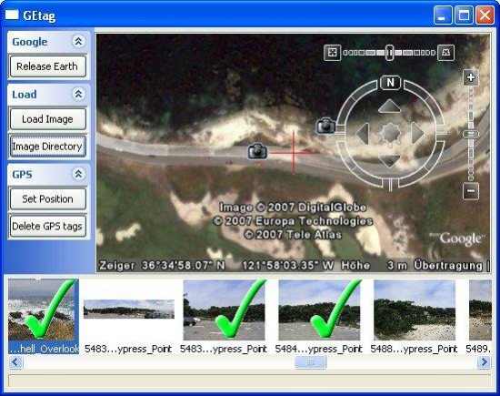
GeoTagGE is a program for "offline" geo-tagging images. It integrates the Google Earth render window in it's own GUI for easy locating the palaces where the images where taken.
About GeoTagGE
GeoTagGE is a free software published in the Presentation Tools list of programs, part of Audio & Multimedia.
This Presentation Tools program is available in English. It was last updated on 29 March, 2024. GeoTagGE is compatible with the following operating systems: Linux, Mac, Windows.
The company that develops GeoTagGE is tmfelser. The latest version released by its developer is 8. This version was rated by 1 users of our site and has an average rating of 3.0.
The download we have available for GeoTagGE has a file size of 3.47 MB. Just click the green Download button above to start the downloading process. The program is listed on our website since 2007-09-26 and was downloaded 105 times. We have already checked if the download link is safe, however for your own protection we recommend that you scan the downloaded software with your antivirus. Your antivirus may detect the GeoTagGE as malware if the download link is broken.
How to install GeoTagGE on your Windows device:
- Click on the Download button on our website. This will start the download from the website of the developer.
- Once the GeoTagGE is downloaded click on it to start the setup process (assuming you are on a desktop computer).
- When the installation is finished you should be able to see and run the program.
